Saving future
Abhisht Kusum Gupta & OA 177 of 2022
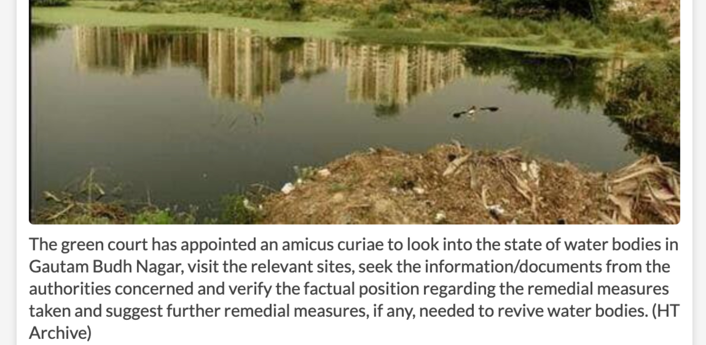
Protecting 1031 Water Bodies in Gautam Buddha Nagar through NGT Intervention
Environmental protection in rapidly urbanizing regions like Noida has become a critical challenge. A landmark case before the National Green Tribunal—Original Application (OA) 177 of 2022—has brought urgent attention to the alarming condition of water bodies in Gautam Buddha Nagar.
This case, filed by environmental advocate Abhisht Kusum Gupta, highlights large-scale encroachment, degradation, and loss of traditional ponds and wetlands across the region.
The 1031 Water Bodies: Scale of the Issue
As revealed during the proceedings:
-
Total identified water bodies: 1031
-
Encroachment-free: 823
-
Encroached (partial/full): 171
A significant number of these water bodies have been impacted by:
-
Urban expansion and infrastructure development
-
Illegal construction and land-use conversion
-
Disruption of natural drainage and catchment systems
This widespread degradation poses serious risks to groundwater recharge, flood management, and ecological balance.
Key Environmental Concerns
1. Encroachment and Land Conversion
Water bodies have been reduced or eliminated due to construction activities, including residential, commercial, and even public infrastructure projects.
2. Loss of Natural Hydrology
Feeder channels and catchment areas have been disrupted, preventing natural water flow into ponds and wetlands.
3. Urban Drainage Mismanagement
Stormwater is often diverted into artificial drains instead of replenishing natural water bodies.
NGT Intervention under OA 177 of 2022
Recognizing the seriousness of the issue, the National Green Tribunal issued significant directions:
-
Identification and protection of all water bodies
-
Removal of encroachments through legal action
-
Restoration and rejuvenation of degraded ponds
-
Formation of District Wetland Committees
-
Regular monitoring and compliance reporting
These directives aim to establish a structured and accountable approach to water body conservation.
Role of Volunteers137
Aligned with the objectives of OA 177 of 2022, Volunteers137 has been actively contributing to:
-
Ground-level verification of water bodies
-
Documentation of encroachments and environmental violations
-
Community awareness and mobilization
-
Support for restoration initiatives
Our work bridges the gap between policy directives and on-ground environmental action.
Why This Case Matters
Water bodies are vital ecological assets that support:
-
Groundwater recharge
-
Flood mitigation
-
Biodiversity conservation
-
Climate resilience
The findings of OA 177 of 2022 underscore the urgent need to protect these natural systems in urban regions facing rapid development pressures.
Moving Forward
The restoration of 1031 water bodies in Gautam Buddha Nagar represents not just a legal mandate, but a collective responsibility.
Volunteers137 calls upon citizens, institutions, and policymakers to collaborate in safeguarding these critical ecosystems for future generations.